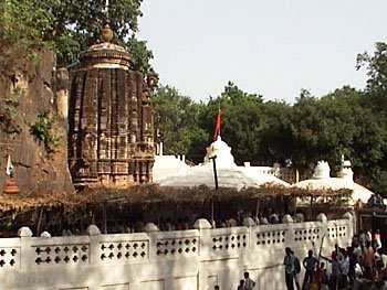
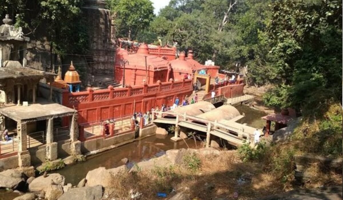
The Bargarh district lies between 20° 43′ to 21° 41′ North latitude and 82° 39′ to 83° 58′ East longitude. It is one of the western most districts of the State of Orissa and came in to existence as a district from 1st April 1993. It is bounded on the north by the State of Chhatisgarh and on the east by the district of Sambalpur, on the south lies the district of Balangir and Subarnapur and on the west the district of Nawapara. The district has an area of 5837 Sq.Kms. The population of the district as per 2001 census is 13.46 Millions out of which 6.81 millions are male and 6.65 millions are female

What is Bargarh District of Odisha famous for?
Bargarh District of Odisha is world-famous as the “Handloom Capital of Odisha,” renowned for producing the exquisite Sambalpuri Saree (Bandha Ikkat). It is equally celebrated for hosting the “World’s Largest Open-Air Theatre” – the grand Dhanu Yatra festival, which transforms the entire town into a mythological stage. The district, formed on April 1, 1993, is a key economic and cultural hub in Western Odisha.
River System
The major rivers in the district are tributaries of Mahanadi river. Jira and Jhaun rivers flow through the Bargarh district and join the river Mahanadi in the extreme south of the district. The Jira has main tributary, the Danta which joins it a few miles north of its confluence with the Mahanadi near the village Gandturum in Bheden.
The other river that flows through the district is Ong (Ang) which rises in the Nawapara district and enters Borasambar (Padampur) at its extreme south-west corner. It flows through in a wide-semi-circle from west to east and leaves the district a few miles to the east of Gaisilat eventually joining the Mahanadi in the Subarnapur district.
Textile Heritage:
Globally celebrated as the epicenter for handwoven Sambalpuri Ikat sarees and textiles.
Major Festival:
Hosts the iconic Dhanu Yatra, a 10-11 day cultural drama recognized as one of the largest open-air theatrical events on earth.
Geographical Location:
A westernmost district of Odisha, bordered by Chhattisgarh and the districts of Sambalpur, Balangir, and Subarnapur.
River System:
Drained by tributaries of the Mahanadi, primarily the Jira, Jhaun, and Ong rivers, which support its agriculture.
Historical & Geographical Profile:
Bargarh’s identity is defined by its creation as a separate district in 1993 and its strategic position as a gateway between Odisha and Chhattisgarh. Its landscape is sculpted by the fertile basins of the Jira and Ong rivers, vital tributaries of the Mahanadi that nourish the plains and support the agrarian economy. This riverine system has historically facilitated settlement and trade, shaping the district’s development.
Cultural & Economic Heartbeat:
The soul of Bargarh beats on the handloom and in its grand festivals. The district is synonymous with the intricate art of Bandha (Ikat) weaving, where master weavers create world-famous Sambalpuri sarees. This craft is spectacularly celebrated during the Dhanu Yatra, a unique festival where the town of Bargarh itself becomes the kingdom of Mathura, and locals perform the epic stories of Lord Krishna, attracting visitors from across the globe.
Local Life & Potential Attractions:
While renowned for textiles and theatre, Bargarh offers a glimpse into the authentic life of Western Odisha. The local markets are vibrant hubs for handloom shopping and regional cuisine. The district’s connection to the Mahanadi river system also presents serene landscapes near the confluences (sangam) of the Jira and Ong rivers, offering potential for nature exploration and picnics in a tranquil, rural setting.


Leave feedback about this
You must be logged in to post a comment.